Projects
-
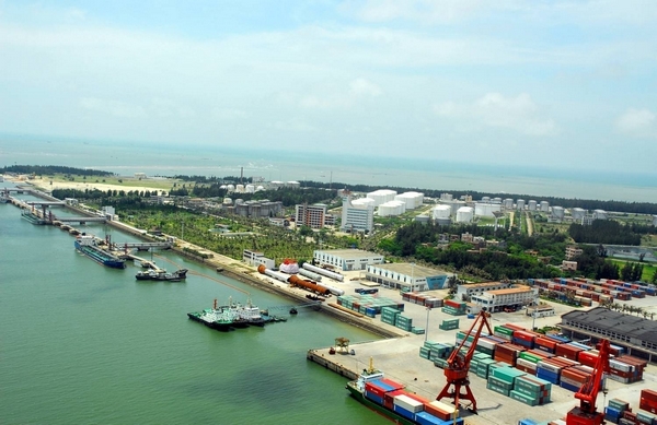
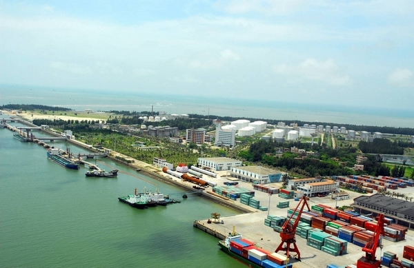
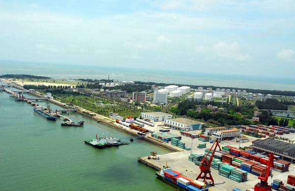
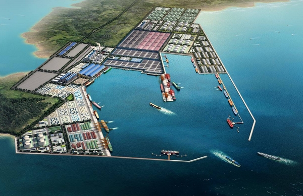
Maoming Port Shuidong Harbor Oil-gas Chemical Product Storage Area Land Formation Engineering
Located within the working district along with the west bank line as planned for Shuidong Harbor and with a floor area of 49.5 ha, this project is backfilled with the 30,000t port excavation earthwork of Shuidong port. The land formation area is 44.3 ha and the coast protection is about 2,831m.
-
Maoming Port Shuidong Harbor Logistics Center Land Formation Engineering
Located within the working district along with the west bank line as planned for Shuidong Harbor and with a floor area of 48.3 ha, this project is backfilled with the 30,000t port excavation earthwork of Shuidong port. The land formation area is 41.95 ha and the protected coast is about 2,375m.
-
Shuidong Harbor 30,000 Ton-class Port Sea-route Engineering
Length of outer navigation channel 9.25km, design bottom width 145m, bottom elevation -11.1m(-11.3m for rock area); length of inner navigation channel 5.35km, design bottom width 135m, bottom elevation -10.9m(-11.1m for rock area); tens of thousand ton-class navigation channel length 1.2km, design bottom width, and bottom elevation-9.3m(-11.1m for rock area).
-
Maoming Port Bohe New Harbor Logistics Foundation Mountain Cutting and Land Formation Project Phase I
Through mountain cutting and land formation in Donggeling, an area of 1,250,000m2 can be formed as land area, with the excavated engineering quantity about 63,000,000m2.
-
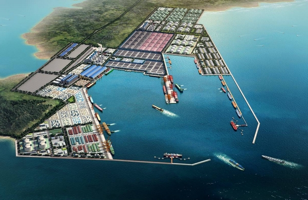
East and West Sea Bank of Maoming Port Bohe New Harbor
The total length of the east sea bank is 5,553m, with the total investment estimate as RMB 1.2 billion Yuan, while the total length of the west bank is 3,098m, with the total investment as RMB 0.72 billion Yuan.
-
Maoming Port Bohe New Harbor 300,000 Ton-Class Navigation Channel(150,000 Ton-class for the First Phase)
This project is lengthened, widened and deepened based on the 100,000 Ton-class Navigation Channel Engineering of Bohe New Harbor. Navigation length is about 8.2km; valid width of the navigation channel is 210m; design bottom elevation of the navigation channel is -18.3m.

